
General knowledge One-page note UK only
UK Geography in One Page
Capitals, peaks, rivers and lakes of all four UK nations, on one page. Save this page.
Good to know
UK. Heights from Ordnance Survey; Lough Neagh from DAERA (NI). Checked Nov 2026.
What's on the page
The note as text, so you can read it, copy it or use a screen reader.
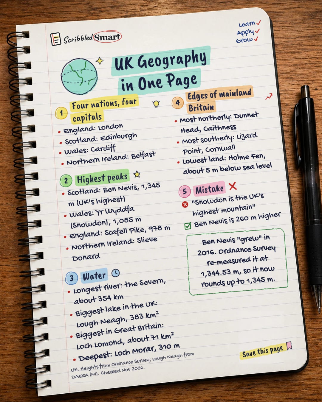
Four nations, four capitals
- England: London
- Scotland: Edinburgh
- Wales: Cardiff
- Northern Ireland: Belfast
Highest peaks
- Scotland: Ben Nevis, 1,345 m (UK's highest)
- Wales: Yr Wyddfa (Snowdon), 1,085 m
- England: Scafell Pike, 978 m
- Northern Ireland: Slieve Donard
Water
- Longest river: the Severn, about 354 km
- Biggest lake in the UK: Lough Neagh, 383 km²
- Biggest in Great Britain: Loch Lomond, about 71 km²
- Deepest: Loch Morar, 310 m
Edges of mainland Britain
- Most northerly: Dunnet Head, Caithness
- Most southerly: Lizard Point, Cornwall
- Lowest land: Holme Fen, about 5 m below sea level
Mistake
- "Snowdon is the UK's highest mountain"
- Ben Nevis is 260 m higher
Sources
- Ordnance Survey (OS Maps): County Tops – the highest point in every UK county
- Ordnance Survey (OS Maps): Britain's Geographical Extremes
- Ordnance Survey blog: Great Britain's tallest mountain is taller
- DAERA (Northern Ireland): Lough Neagh
- ONS: Regional economic activity by gross domestic product, UK: 1998 to 2018
- ONS Service Manual: Countries and regions
How we checked this
Every fact on this note comes from the 6 sources listed here, checked against official or peer-reviewed sources where possible. AI tools help with drafting; a person checks every fact against the sources. How we research
Spotted a mistake? Tell us and we'll fix it and log it on the corrections page.


