
General knowledge One-page note
How to Read a Grid Reference
Along the corridor, then up the stairs: the one rule for every map grid reference. Save this page.
Good to know
OS National Grid, Great Britain.
What's on the page
The note as text, so you can read it, copy it or use a screen reader.
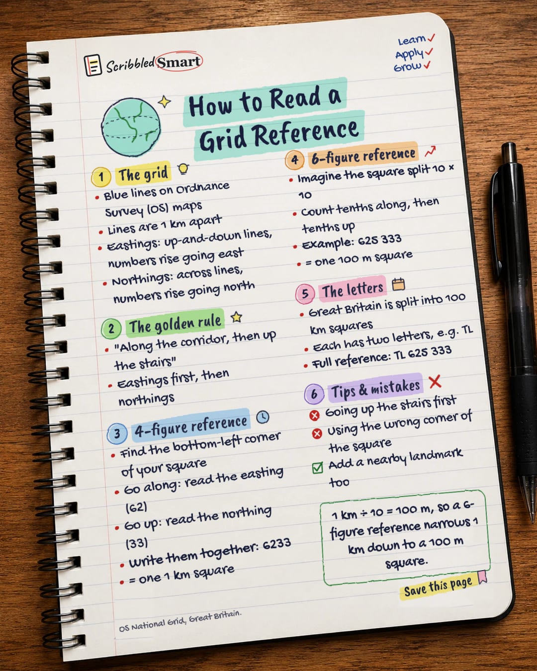
The grid
- Blue lines on Ordnance Survey (OS) maps
- Lines are 1 km apart
- Eastings: up-and-down lines, numbers rise going east
- Northings: across lines, numbers rise going north
The golden rule
- "Along the corridor, then up the stairs"
- Eastings first, then northings
4-figure reference
- Find the bottom-left corner of your square
- Go along: read the easting (62)
- Go up: read the northing (33)
- Write them together: 6233
- = one 1 km square
6-figure reference
- Imagine the square split 10 × 10
- Count tenths along, then tenths up
- Example: 625 333
- = one 100 m square
The letters
- Great Britain is split into 100 km squares
- Each has two letters, e.g. TL
- Full reference: TL 625 333
Tips & mistakes
- Going up the stairs first
- Using the wrong corner of the square
- Add a nearby landmark too
Sources
How we checked this
Every fact on this note comes from the 2 sources listed here, checked against official or peer-reviewed sources where possible. AI tools help with drafting; a person checks every fact against the sources. How we research
Spotted a mistake? Tell us and we'll fix it and log it on the corrections page.


