
General knowledge One-page note
Latitude and Longitude Explained
Every place on Earth has a unique address made of two numbers. Here's how to read it. Save this page.
Good to know
Distances are approximate.
What's on the page
The note as text, so you can read it, copy it or use a screen reader.
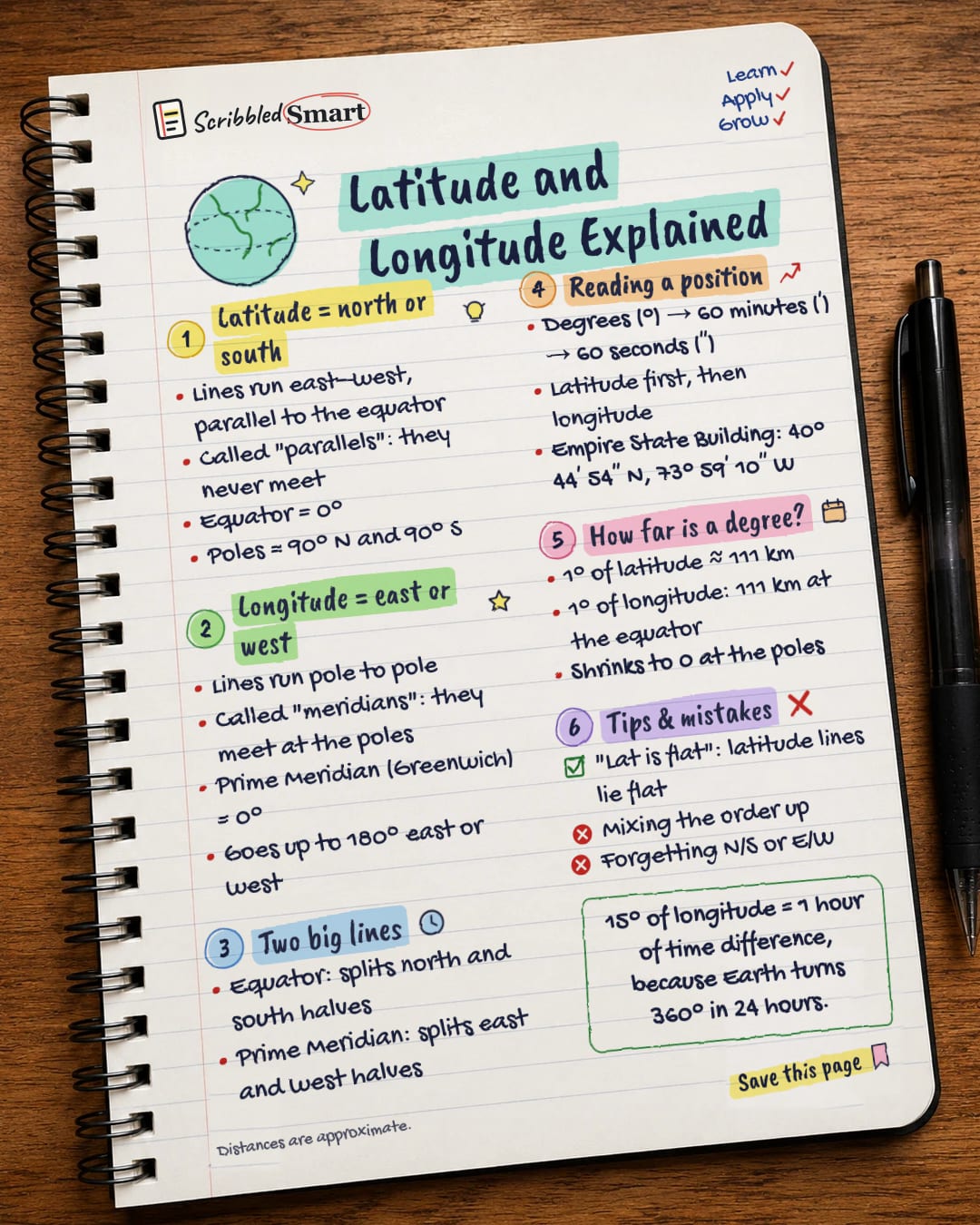
Latitude = north or south
- Lines run east–west, parallel to the equator
- Called "parallels": they never meet
- Equator = 0°
- Poles = 90° N and 90° S
Longitude = east or west
- Lines run pole to pole
- Called "meridians": they meet at the poles
- Prime Meridian (Greenwich) = 0°
- Goes up to 180° east or west
Two big lines
- Equator: splits north and south halves
- Prime Meridian: splits east and west halves
Reading a position
- Degrees (°) → 60 minutes (′) → 60 seconds (″)
- Latitude first, then longitude
- Empire State Building: 40° 44′ 54″ N, 73° 59′ 10″ W
How far is a degree?
- 1° of latitude ≈ 111 km
- 1° of longitude: 111 km at the equator
- Shrinks to 0 at the poles
Tips & mistakes
- "Lat is flat": latitude lines lie flat
- Mixing the order up
- Forgetting N/S or E/W
Sources
How we checked this
Every fact on this note comes from the 5 sources listed here, checked against official or peer-reviewed sources where possible. AI tools help with drafting; a person checks every fact against the sources. How we research
Spotted a mistake? Tell us and we'll fix it and log it on the corrections page.


